
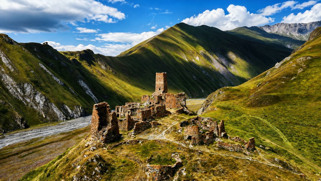
I’d heard about the Truso Valley from a few other travellers in Kazbegi — something about a canyon behind town with turquoise springs and orange rivers, half an hour past the Gergeti church everyone photographs. It sounded like exactly the kind of place I wanted: close enough for a day trip, remote enough that it wouldn’t be crawling with people. This is how the day actually went.
Getting There
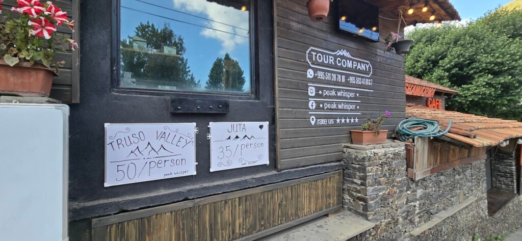
There are a few ways to reach the trailhead from Kazbegi (Stepantsminda), and I asked around at a couple of the tour desks in town before picking one:
- The daily shuttle, which is what I ended up taking — 50 GEL per person. It picks up in town, drops everyone at the start of the hike at 10am, and comes back for you at the same spot at 5pm.
- A private driver or taxi from the main square, if you want more control over your timing — you negotiate the fare directly.
- A 4WD car that drives all the way into the valley, for anyone who wants to see it without hiking. More on that at the end.
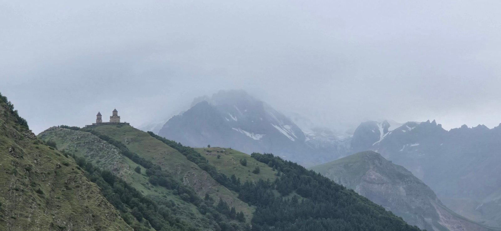
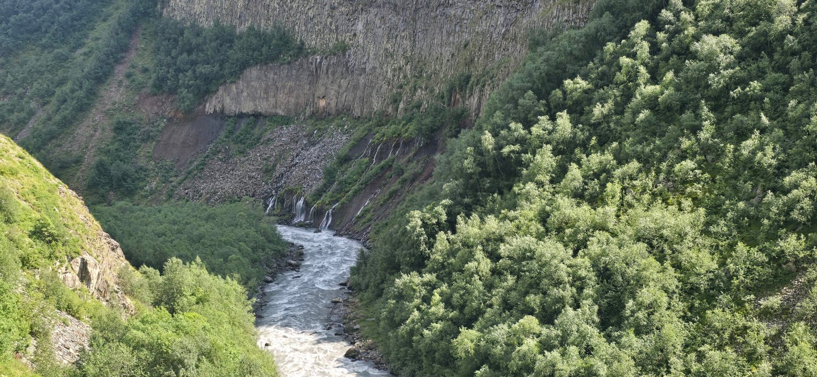
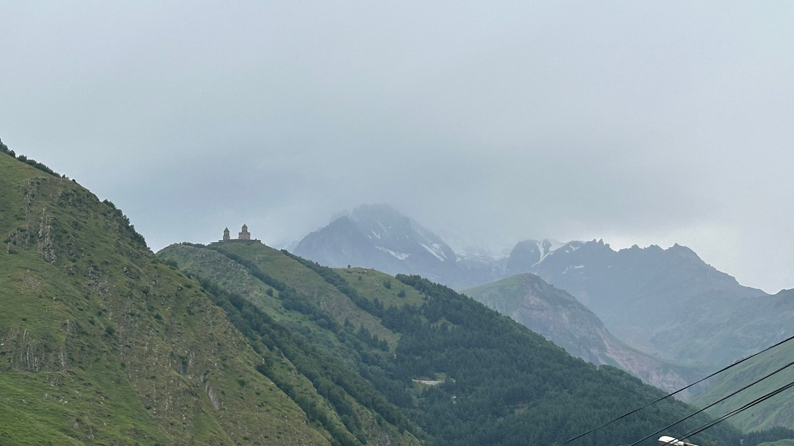
I went with the shuttle. Simple, cheap, and the 10-to-5 window turned out to be exactly enough time. A minivan picked me up outside a little tour company shopfront in town — the same one with ‘Truso Valley’ chalked on a board out front — and we drove out past Gergeti, climbing along the military highway with the church disappearing into cloud behind us. About halfway there, the road runs along a narrow gorge where a whole cliff face of waterfalls comes down through the trees into the river below — I wasn’t expecting scenery like that before I’d even started walking.
Into the Canyon
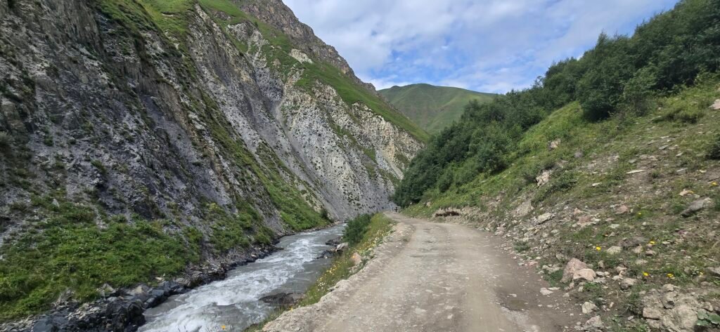
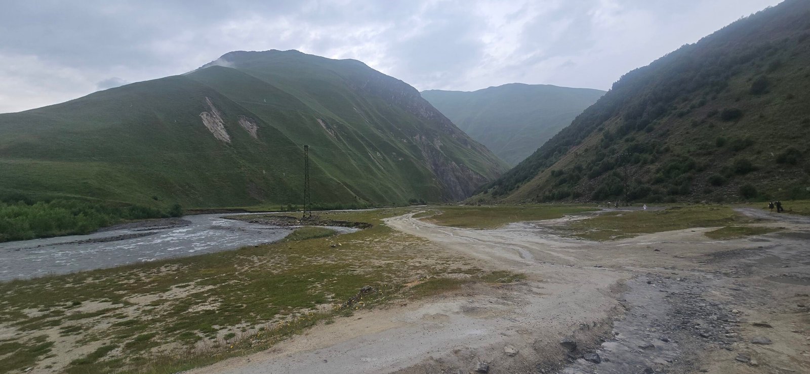
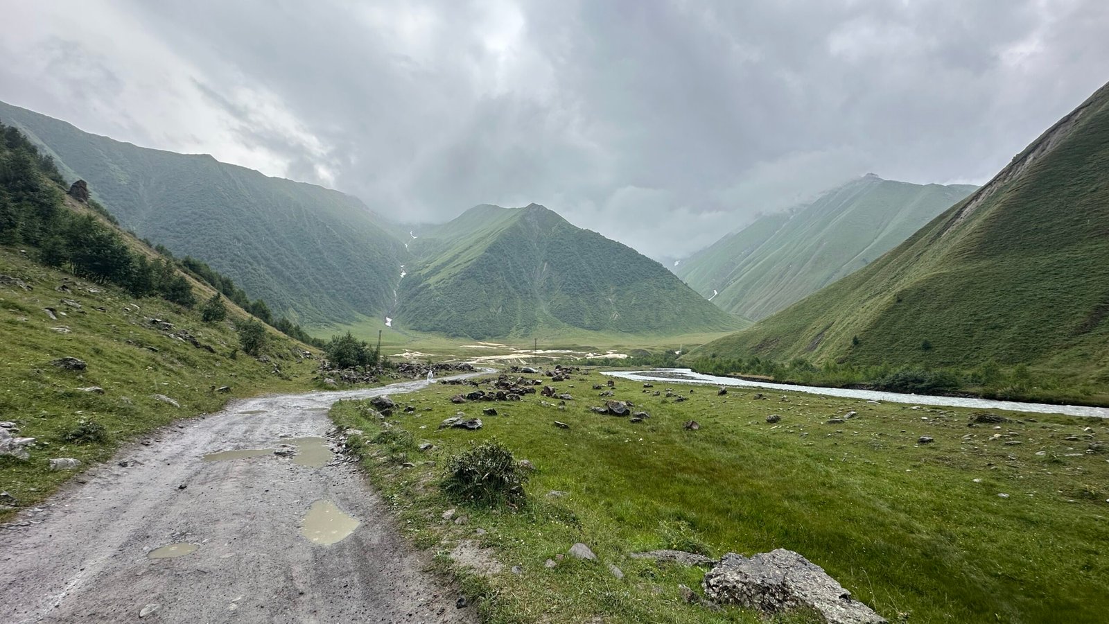
The shuttle turned off the main highway and dropped me at a gravel clearing where the valley opens up — a wide gap between two hills with a river braiding through gravel bars. This is the start of the trail, and honestly, the first stretch is quiet. The valley narrows into a long canyon here, and for the better part of an hour it’s just you, a dirt track following the river, and steep green slopes on both sides. Not much happens — no ruins, no springs, just walking — but it’s a good kind of uneventful. The kind of stretch where you settle into a rhythm and start noticing how big the place is.
The Travertine Flats
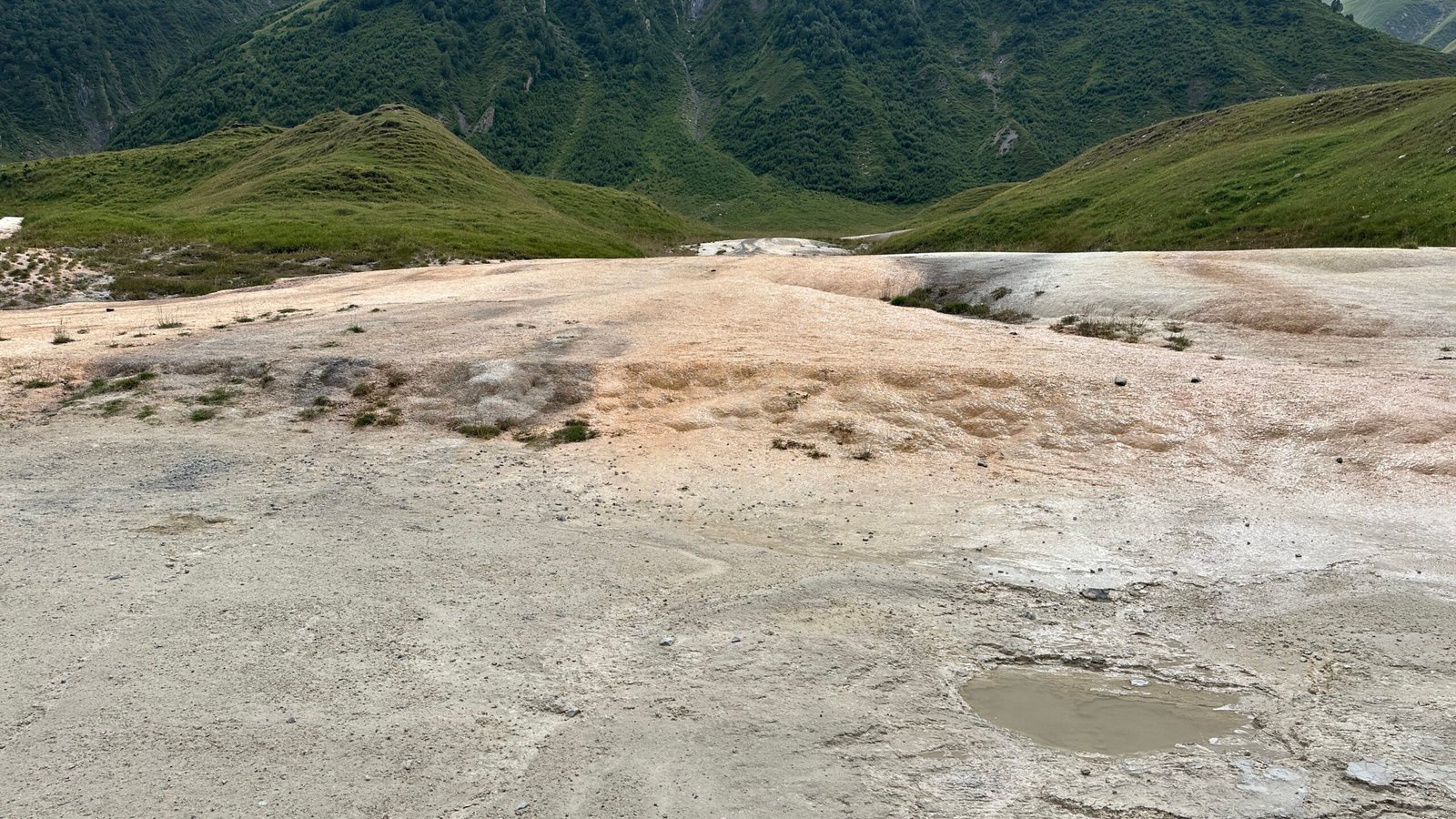
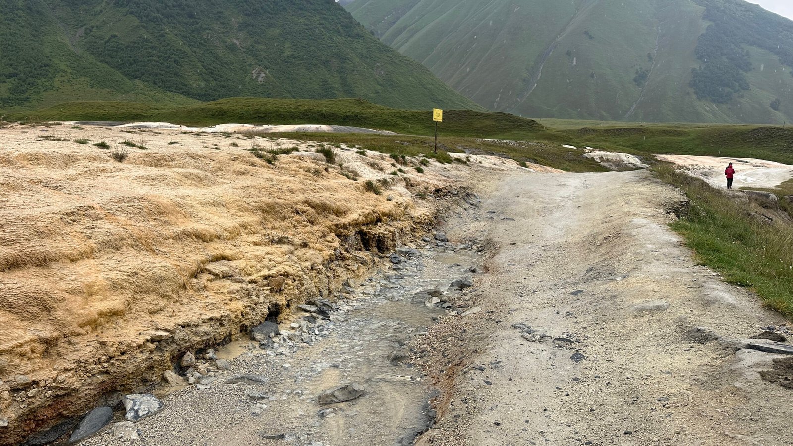
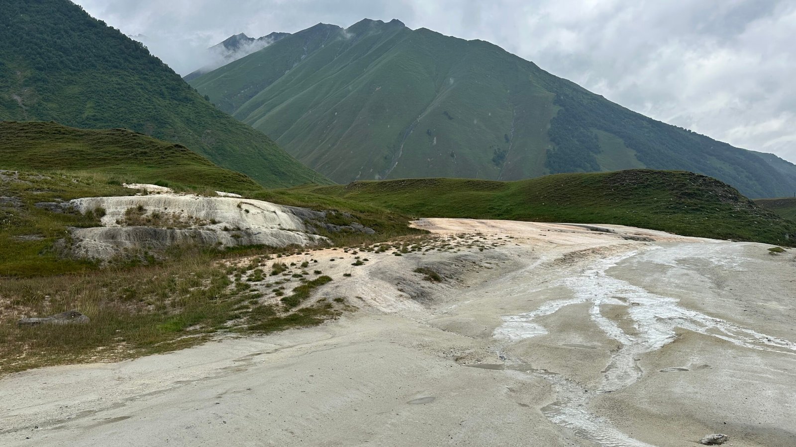
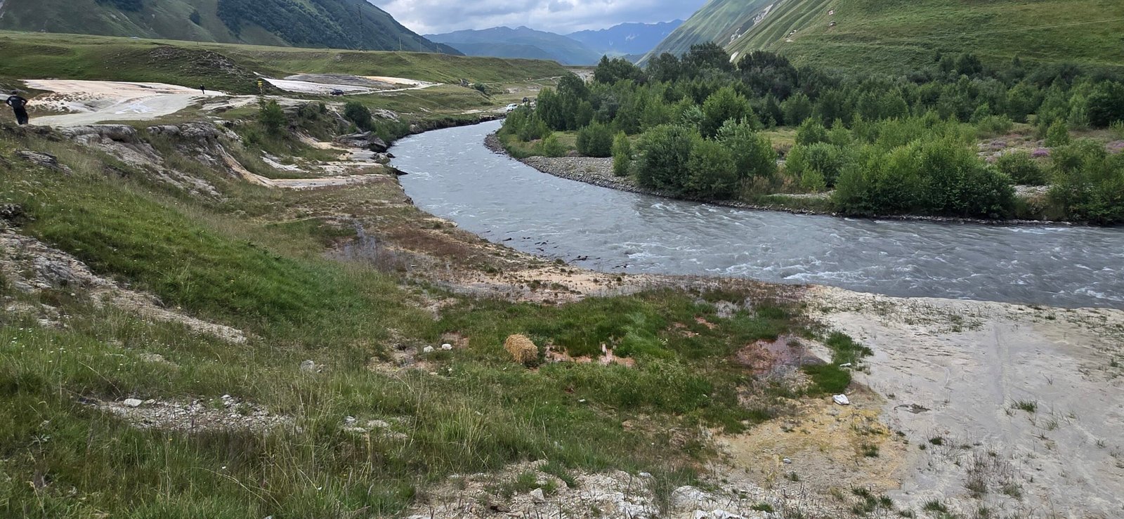
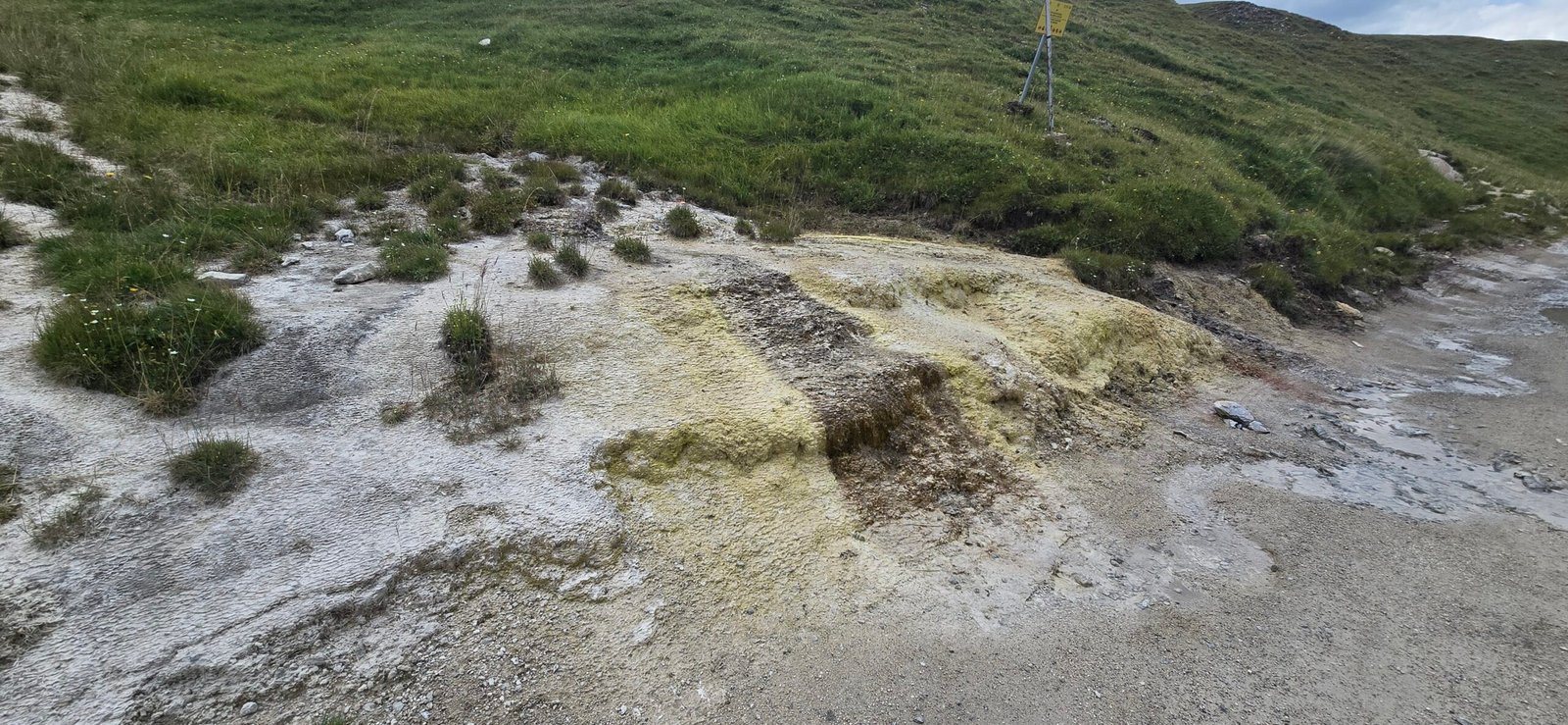
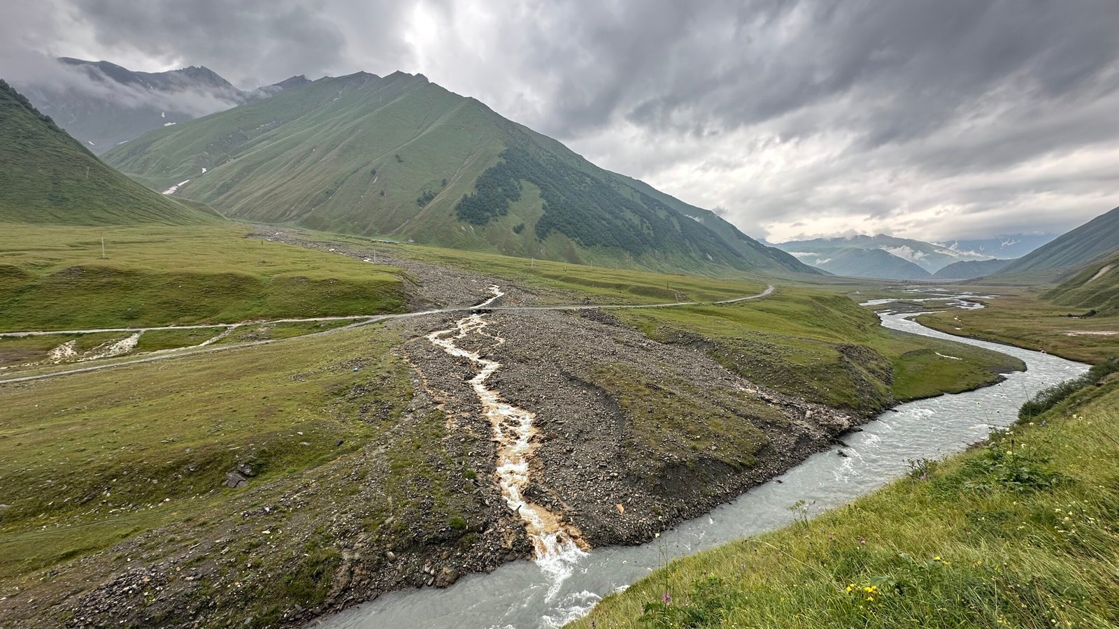
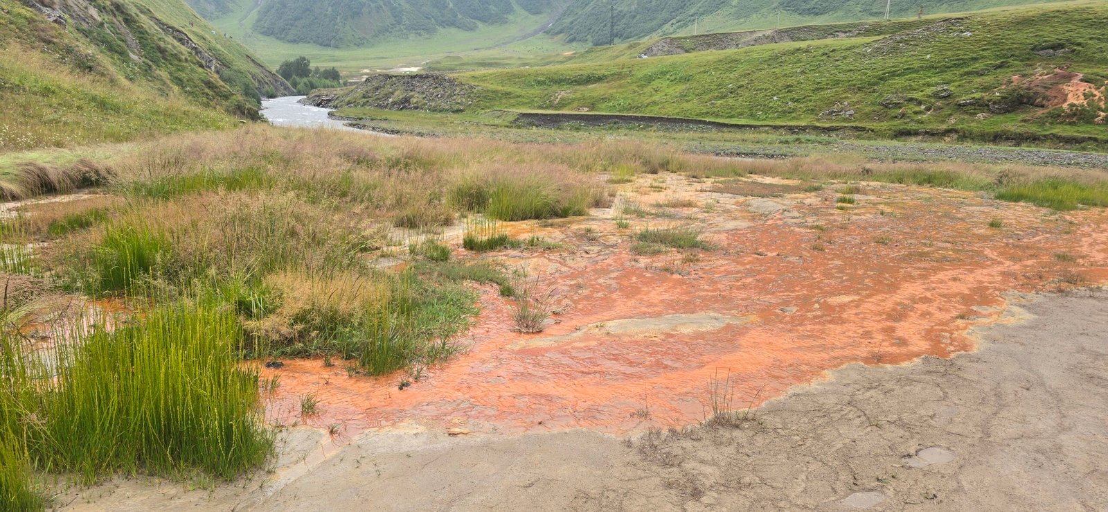
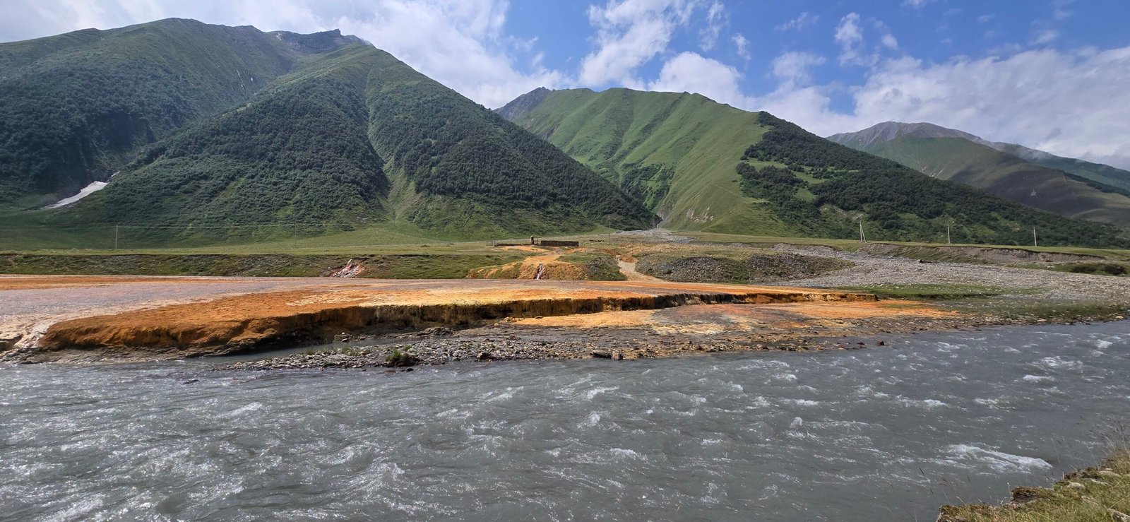
The canyon opens up again, and this is where the valley starts showing its hand. Without much warning, the grass gives way to a wide, pale apron of mineral rock spreading out from the riverbank — the travertine flats. Up close it’s streaked rust-orange, white, and in places almost blood-red, laid down over years by mineral springs bleeding out of the hillside. I spent longer here than I meant to, just walking across it and figuring out where it was safe to step without sinking into the softer patches. It’s the first proper ‘photo stop’ of the hike, and it completely resets your idea of what this valley is going to look like.
A Trail That Splits in Two
Just past the flats, the path splits — the valley trail actually runs along both banks of the river here, joining back up again further ahead near Ketrisi. Whichever side you take out, the other one is waiting for you on the way back, so you end up seeing both without retracing your steps. I took the right-hand path first, which meant crossing a footbridge over the river.
Truso Camping Café and Abano Lake
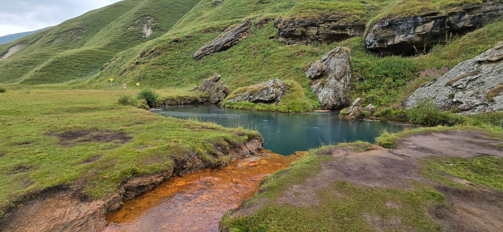
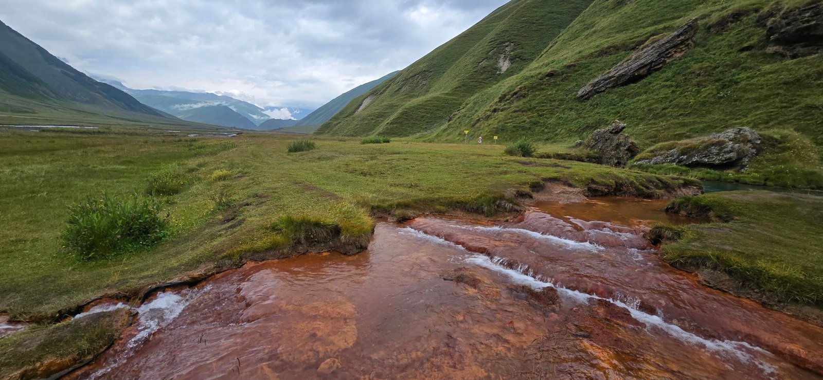
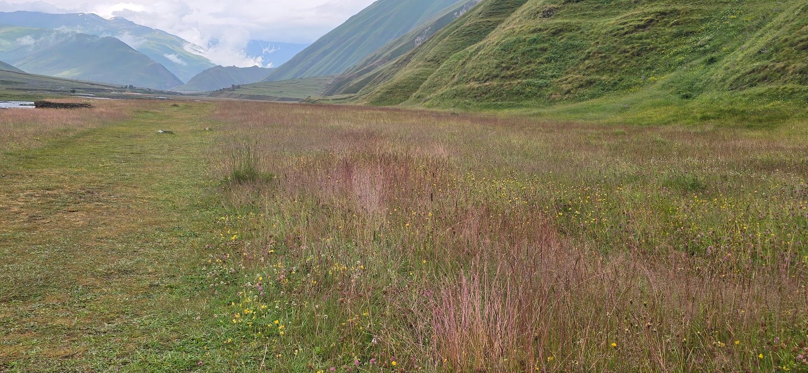
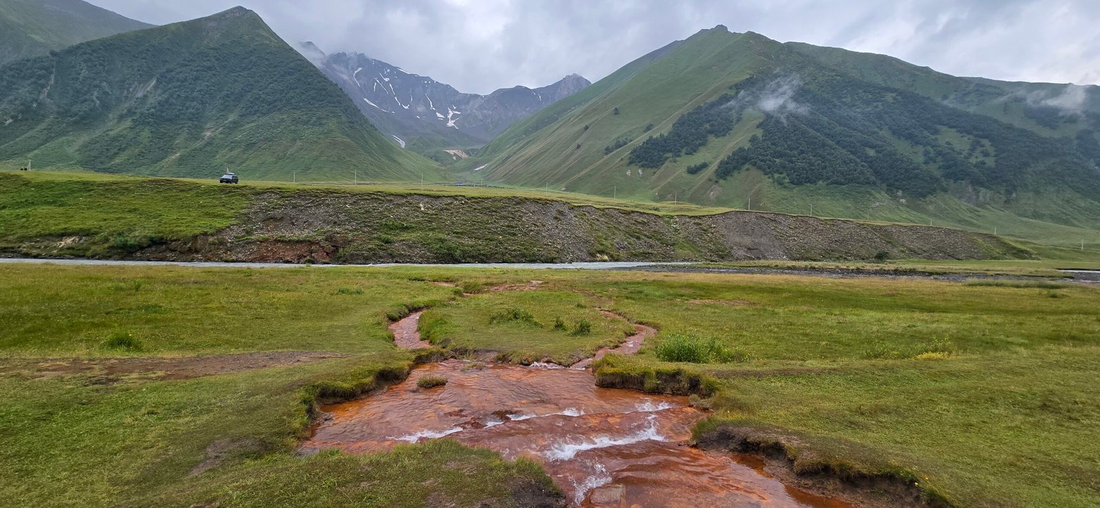
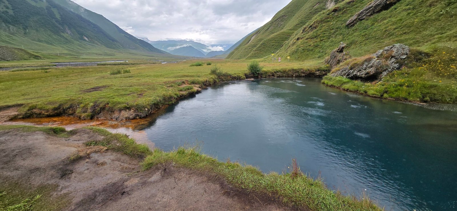
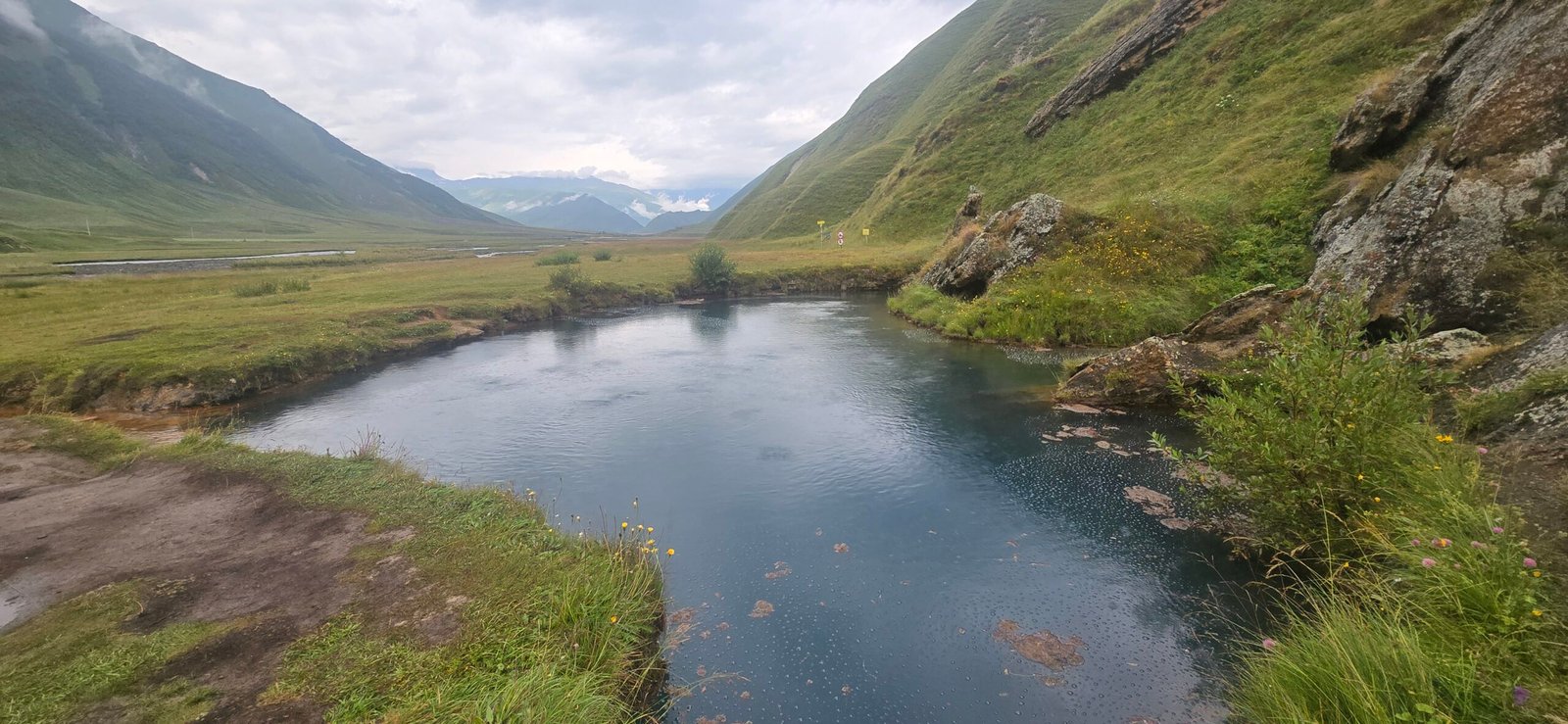
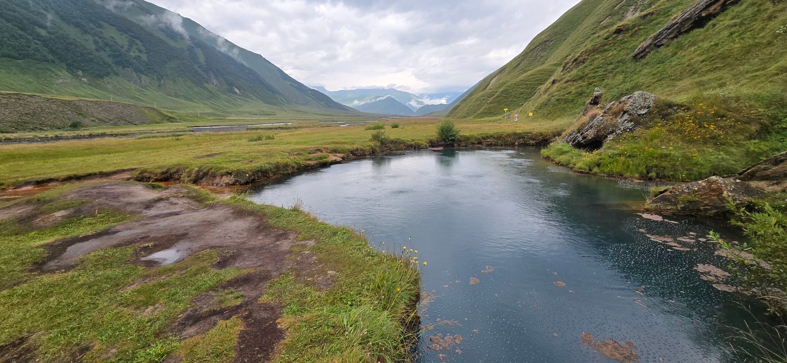
On the far side of the bridge the path runs past the Truso camping café, a simple seasonal spot with a couple of tables outside — I made a mental note to stop there properly on the way back. A little further on, Abano Lake appears just off the trail, a quiet pool sitting in its own shallow bowl, easy to miss if you’re not looking for it. This is roughly the halfway point of the hike, and a good excuse to slow down for a few minutes before the trail climbs again.
Abano Monastery
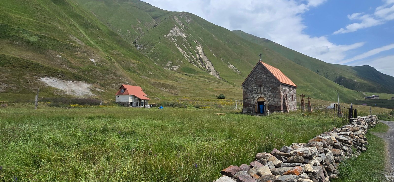
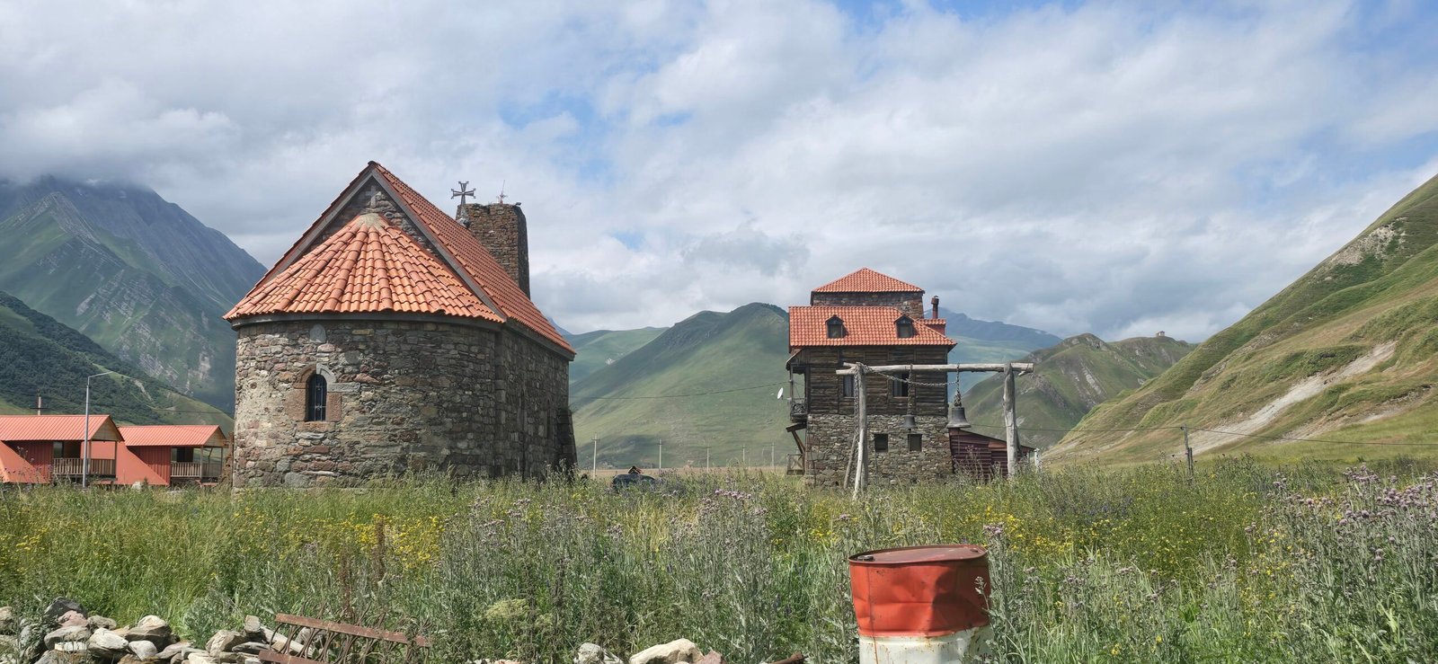
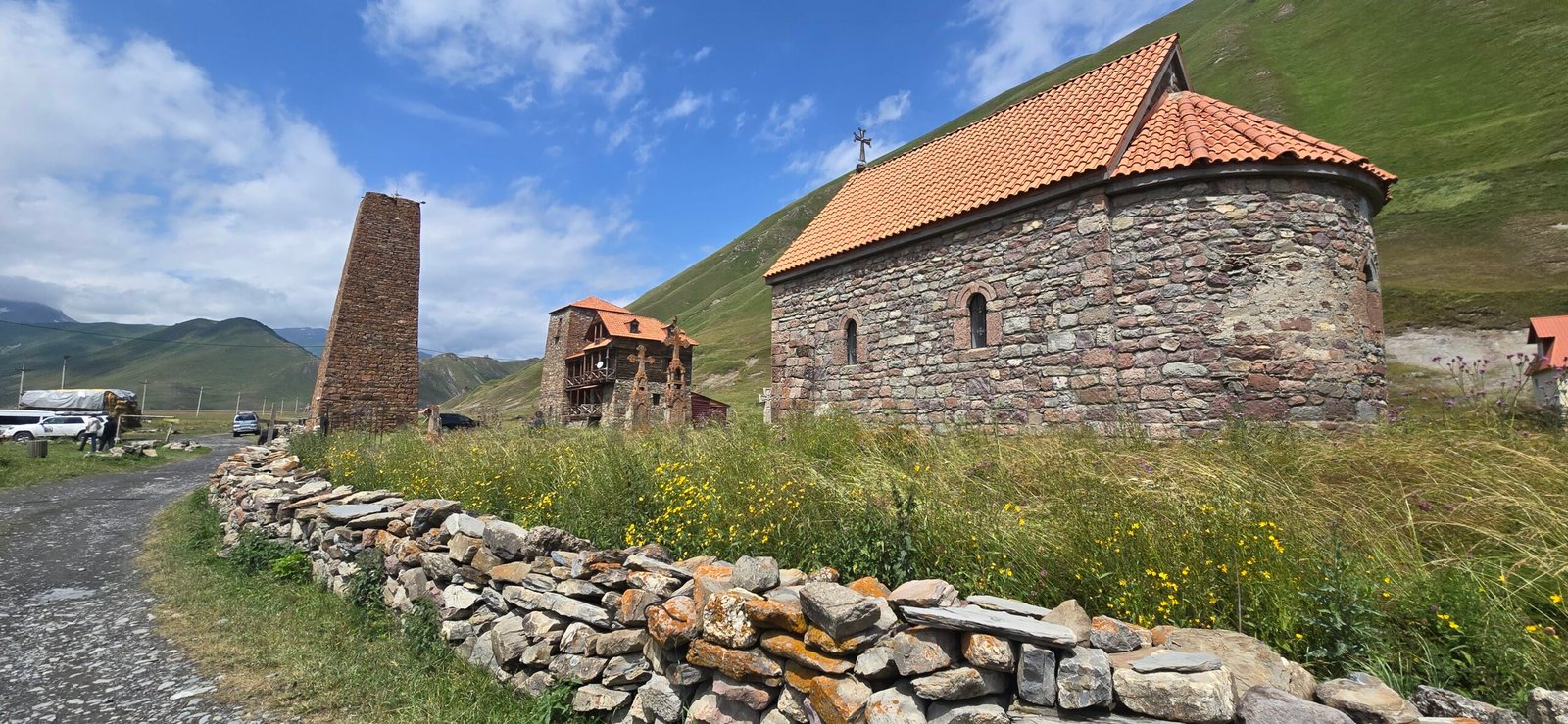
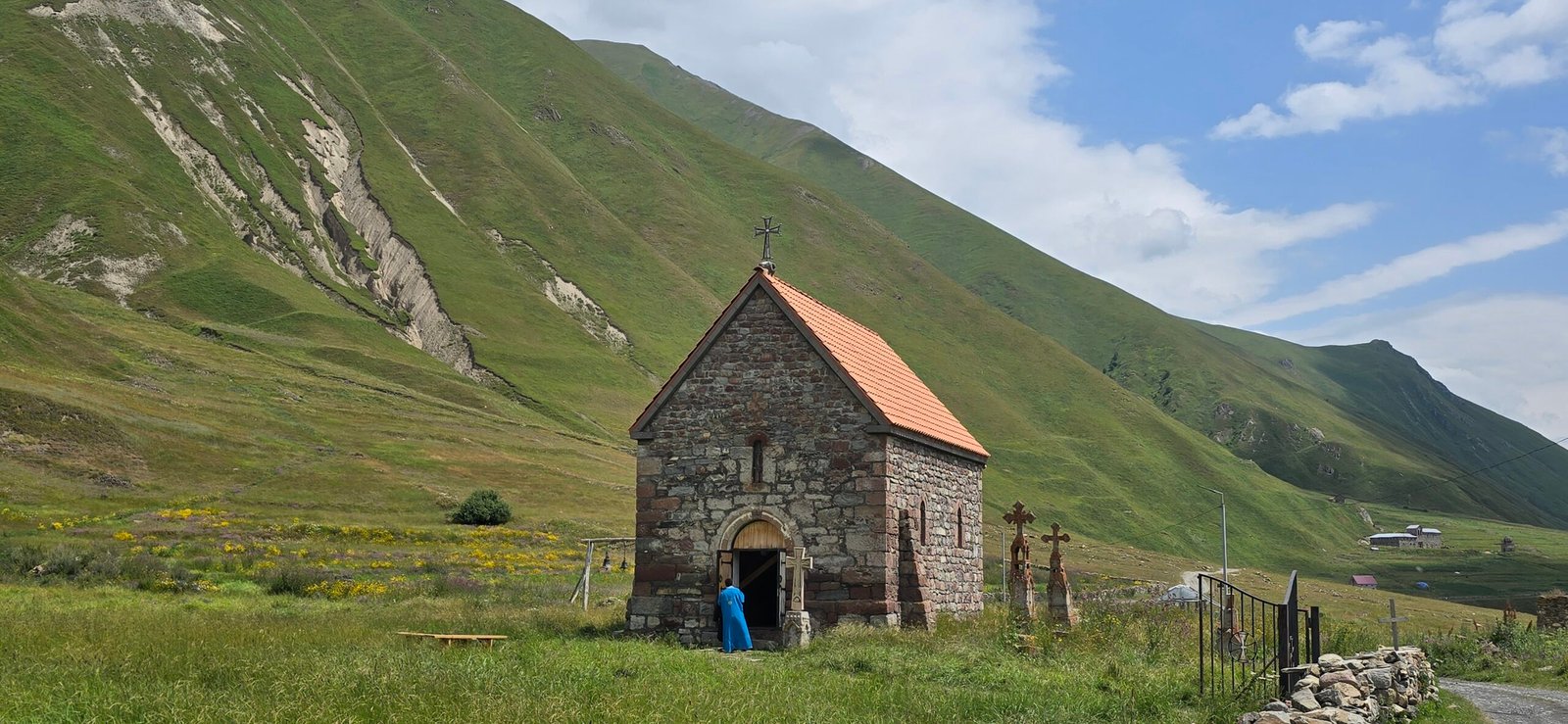
Not far past the lake, the two paths rejoin, and the trail climbs gently toward a small chapel perched high on a ridge — Abano Monastery, more a viewpoint than a destination, but worth the look back down the valley you’ve just walked through.
Zakagori Fortress — The Turnaround
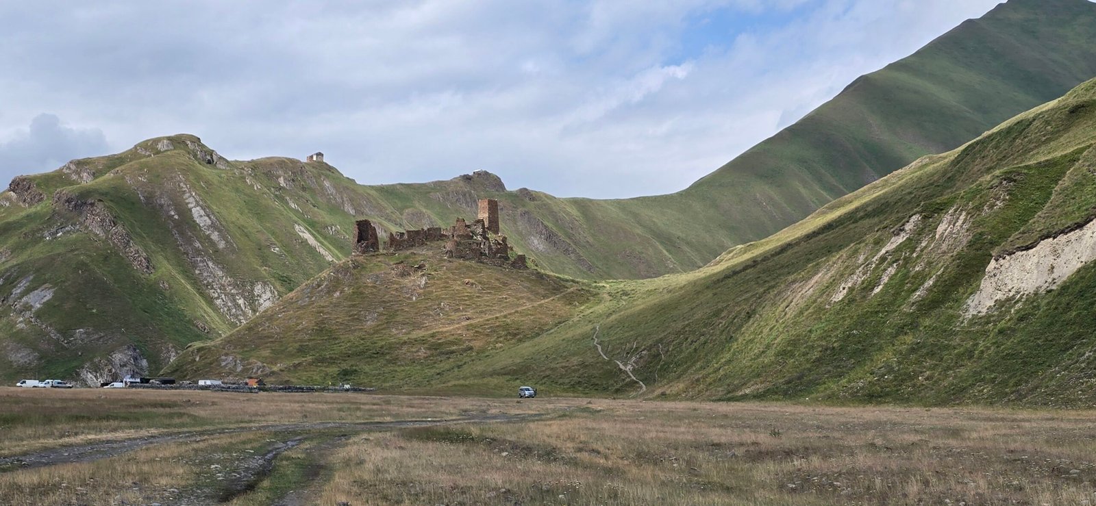
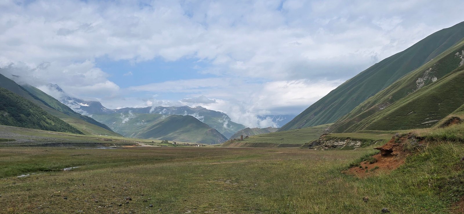
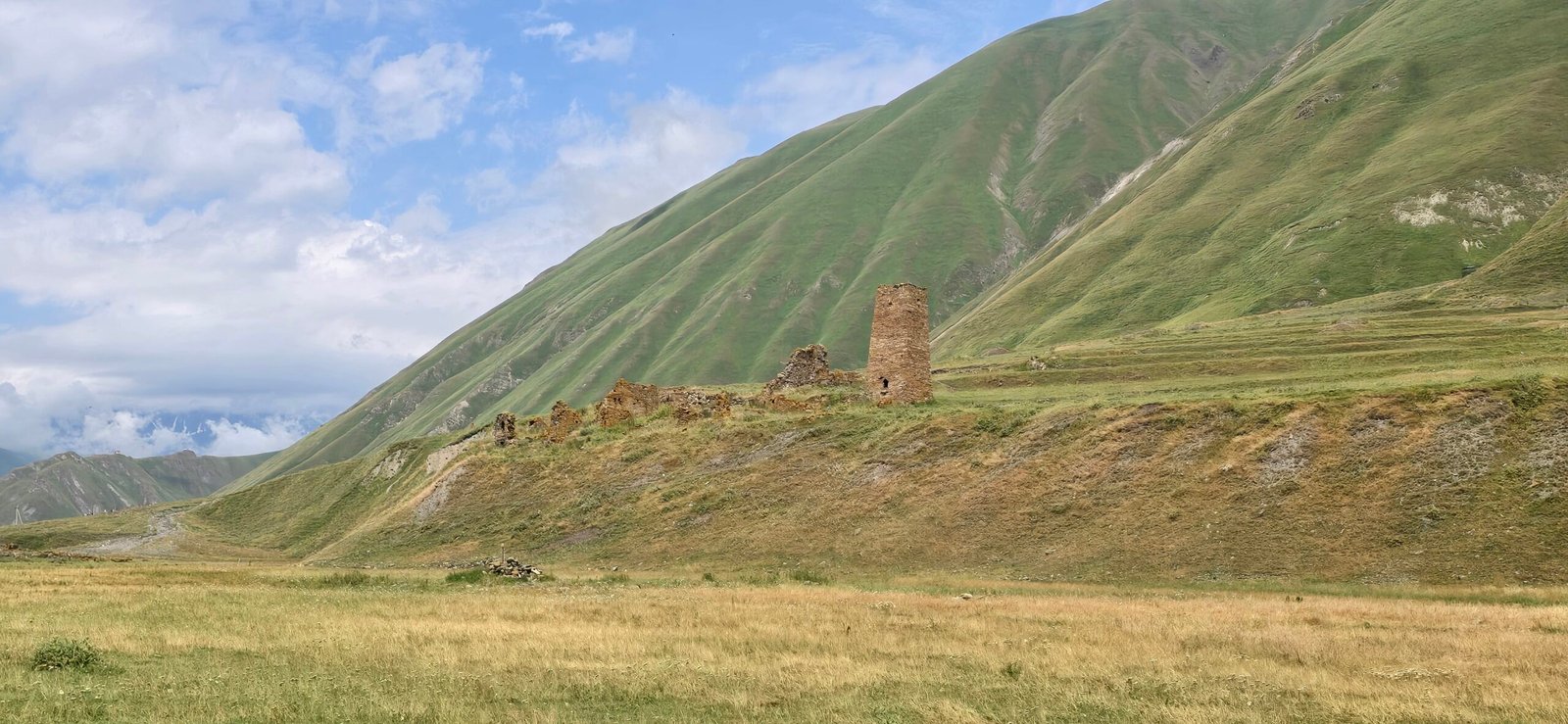
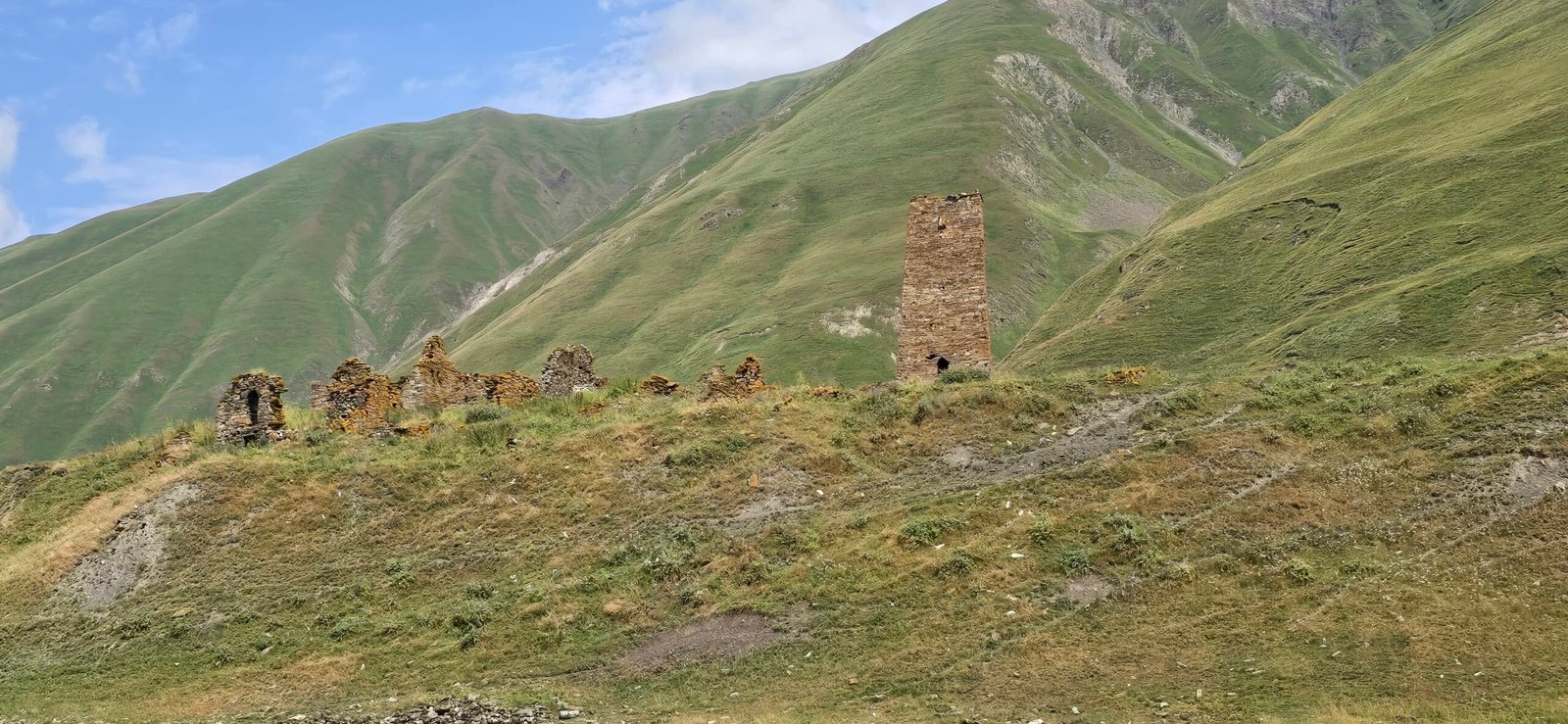
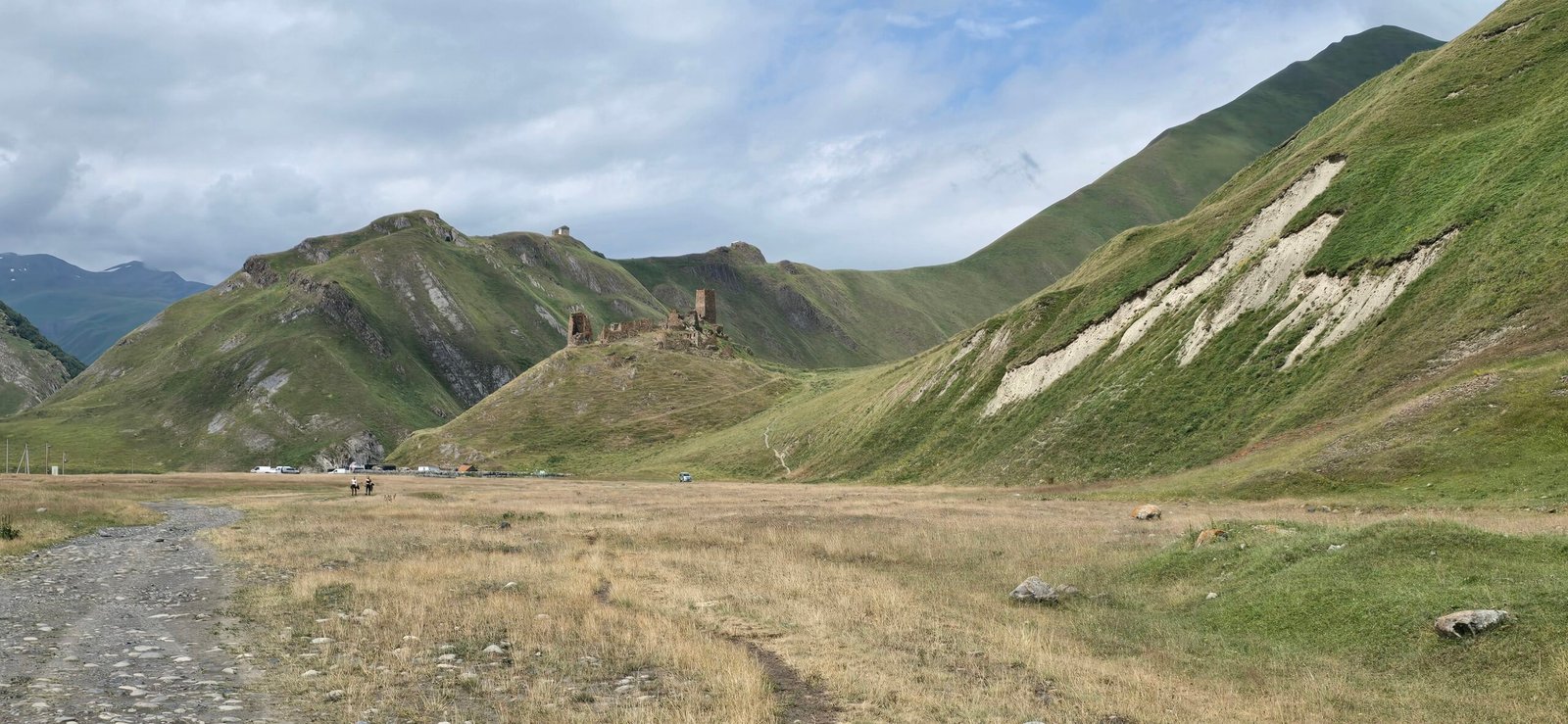
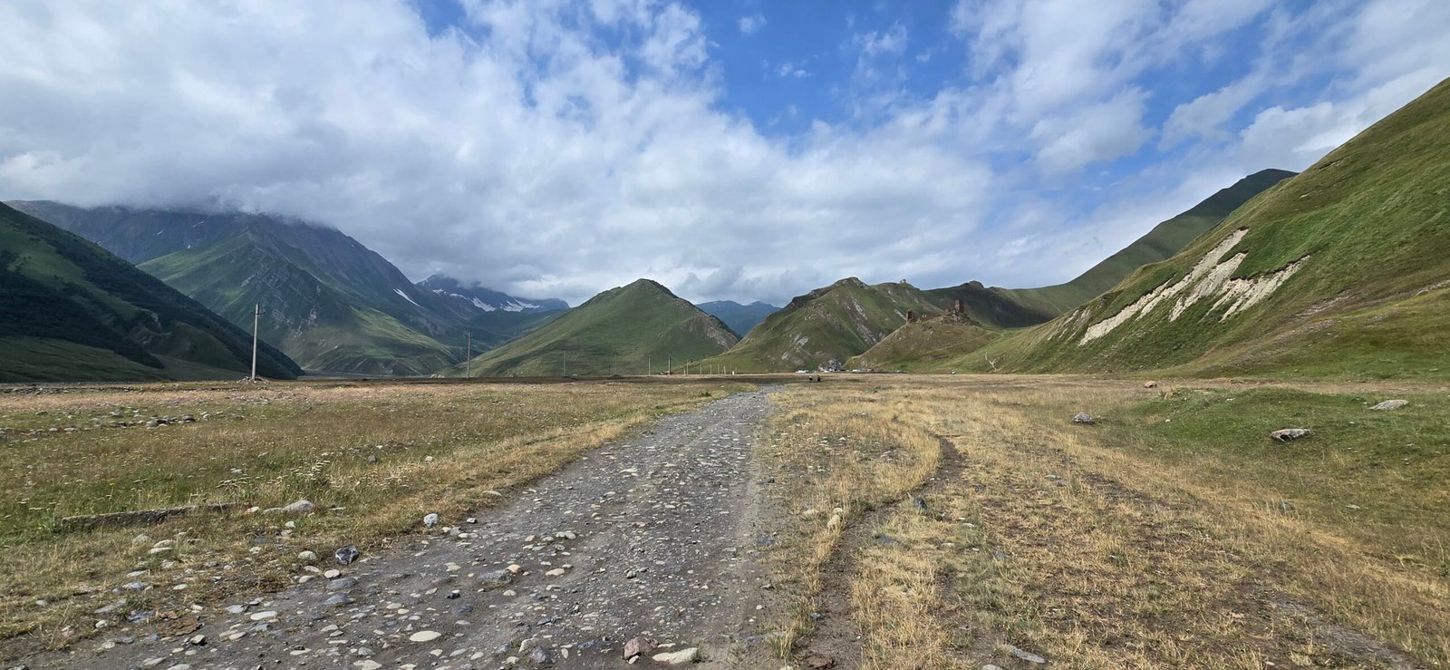
The trail’s last stop, and its high point both literally and figuratively, is Zakagori fortress: a ruined medieval stronghold sitting on its own rocky spur above the valley floor, broken walls and a single surviving tower silhouetted against the ridgeline. This is as far as the trail goes — the true end of the track — and it’s worth the climb up for the view back down the whole canyon before turning around.
The Other Side: Ketrisi and the Geyser
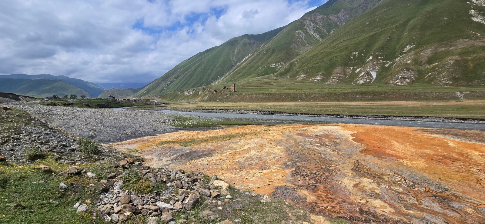
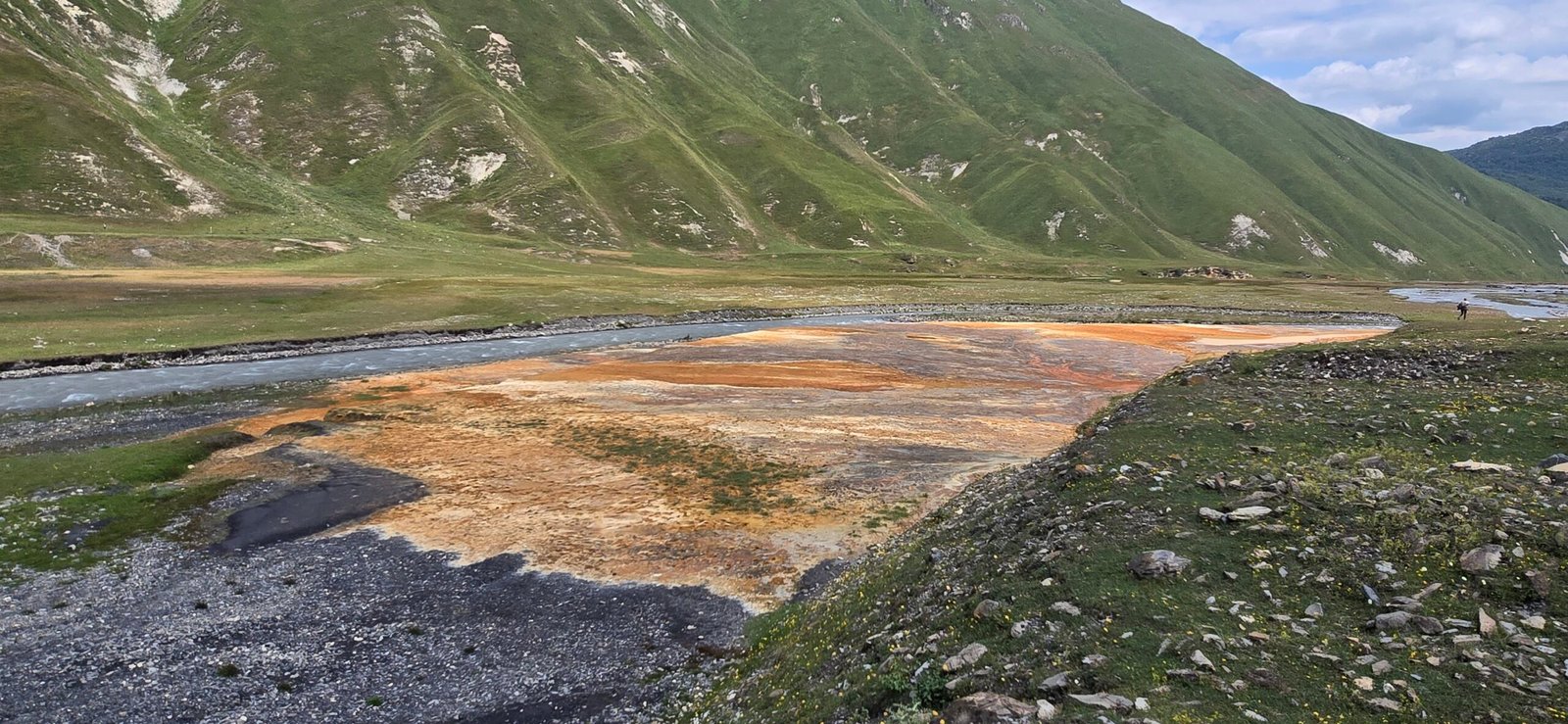
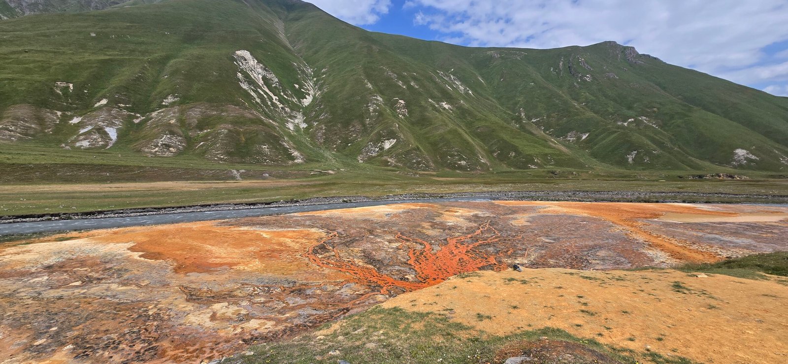
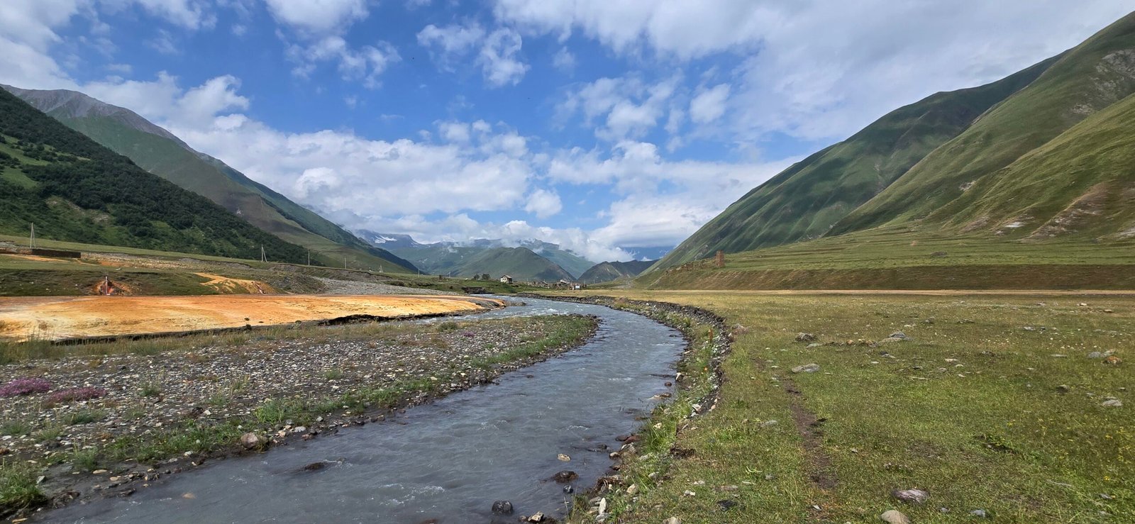
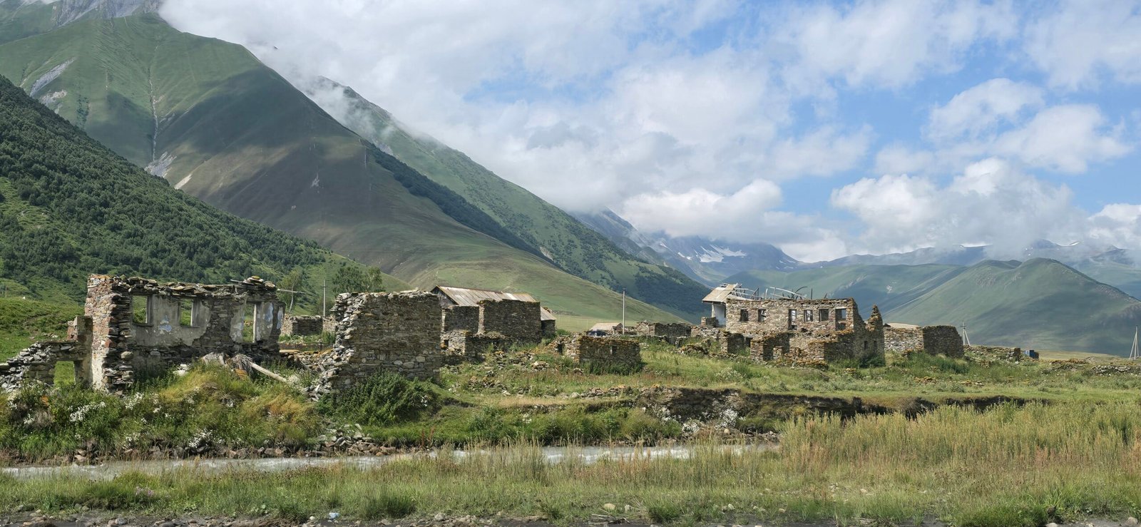
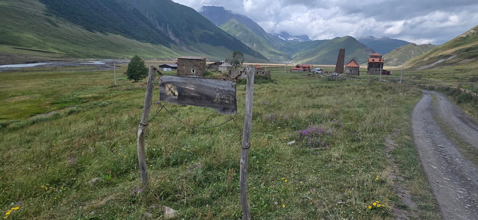
Heading back, I picked up the trail again at the point where it splits and this time took the other bank — the left-hand path I’d skipped on the way out. It runs past the stone watchtower and scattered ruined houses of Ketrisi, an Ossetian village emptied out after the 2008 war and never resettled — no sign, no rope, you just walk straight through it, past collapsed walls and doorways with grass growing up through the floors. A little further on, the springs pool up into small, startlingly turquoise ponds right at the edge of the path — clear enough to see straight to the bottom, with a thin skin of orange mineral crust creeping in from the edges. It’s a genuinely strange, beautiful stretch, and taking this path only on the return meant I had it more or less to myself. The two paths rejoin again close to the travertine flats, completing the loop.
Back to Kazbegi
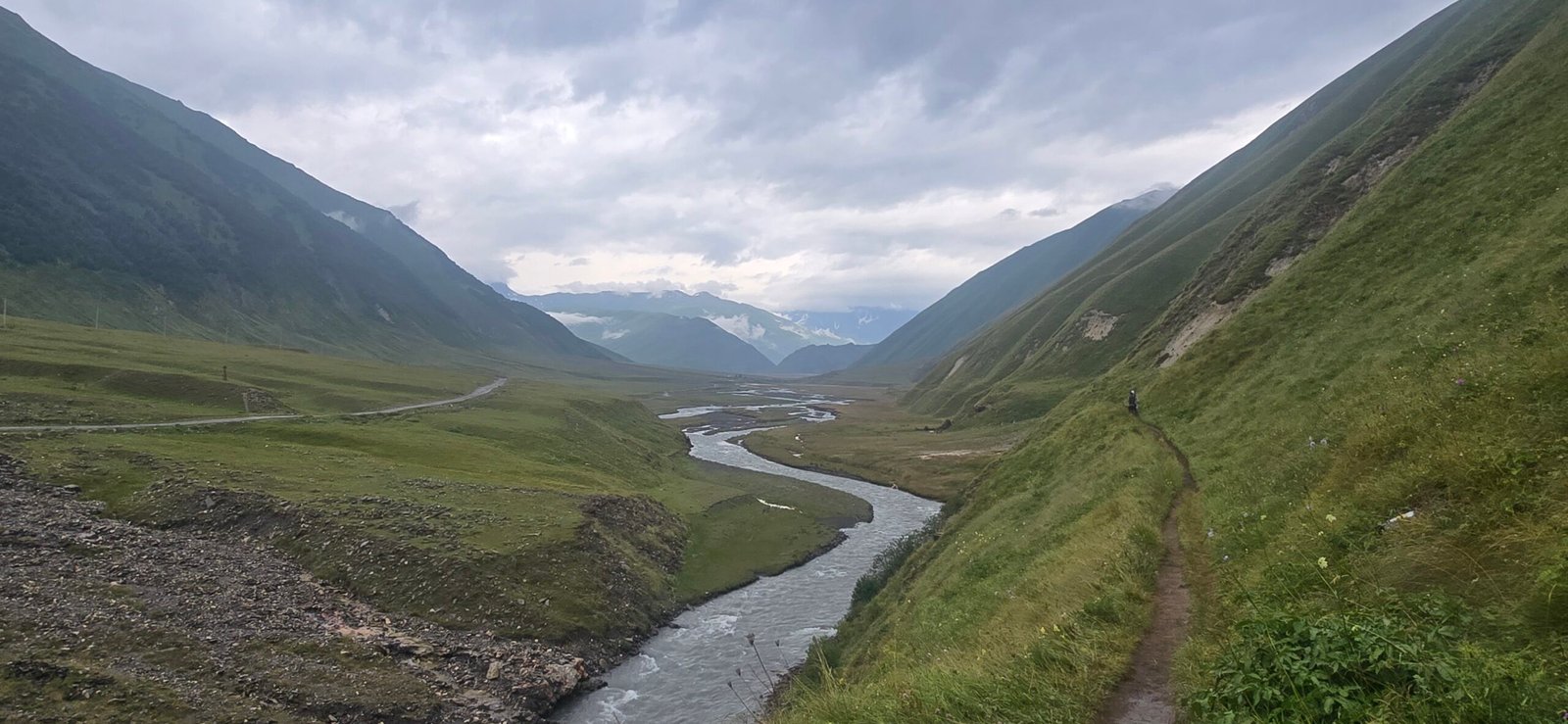
From there it was the same canyon walk back down to the trailhead I’d started on that morning. I made it to the pickup point with a bit of time to spare before 5pm, tired in the good way. The drive back through the gorge caught that same cliff of waterfalls in better light, and I was back in Kazbegi in time for dinner. Door to door, it’s an easy day — long, but never hard.
One Tip, If 20 km Isn’t for You
If you want to see the valley but can’t manage the full 20 km round trip — the springs, the ruins, Zakagori, all of it — you don’t have to hike it. There’s a rough track that continues well past the hiking trailhead, deep into the valley, and local drivers with proper 4WD vehicles can take you most of the way in. It’s not something you can just show up and book, though; you’ll need to arrange it directly with a driver in Kazbegi in advance, since not everyone runs that route. Worth asking about at the same tour desks that book the shuttle.
A Couple of Practical Notes
- Carry your passport. The valley is inside the border zone with Russia/South Ossetia — nobody asked me for it on the day, but border guards can and do check.
- Bring cash (GEL) for the shuttle and for the camping café.
- Pack layers — the weather shifted a few times over the day even though it never properly rained.
- Bring more water than feels necessary; there’s very little shade for most of the 20 km.
- Regular trail shoes were fine — no technical terrain, just a few river crossings and loose gravel.

Adrenaline junkie with a passion for exploring off-the-beaten-path destinations and finding unique ways to stay active. Expect stunning scenery, challenging workouts, awesome travel tips and a whole lot of fun. Let’s get sweaty and explore the world together!